32 oC
10 oC
22 oC
54 oC
Correct answer is B
Range = Highest temperature - Lowest temperature
Highest = 32oC
Lowest = 22oC
Range = 32oC - 22oC=10oC

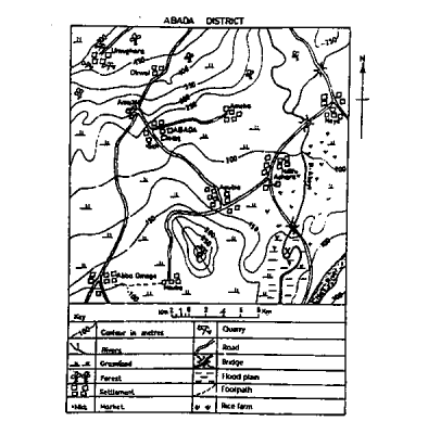
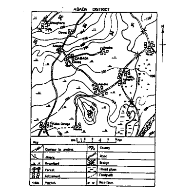
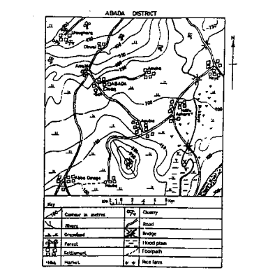
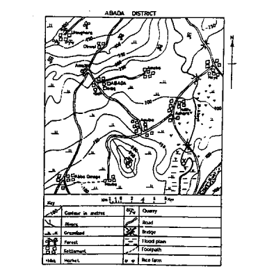
The area covered by the map is approximately
1400 Km2
900 Km2
1950 Km2
1010 Km2
Correct answer is D
To get the area covered:
i. Use your ruler to measure the dimensions of the map i.e length and breadth
ii. Convert your results to km using the scale asa reference
iii. Multiply the values you get in km together

Middle stage
Youthful stage
Initial stage
Mature stage
Correct answer is B
River Aboye is at its youthful stage. This is due to the fact that it has a steep slope

The likely occupation of the people of Ndifu Achara settlement is
trading
gold mining
rice farming
lumbering
Correct answer is C
On the map, there is presence of rice farm around Ndifu Achara

The bearing of Ameka from Aba Omege road junction is approximately
40o
22o
90o
220o
Correct answer is B
The bearing is approximately 22o
WAEC Subjects
Aptitude Tests