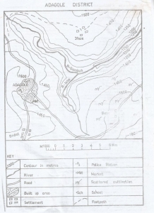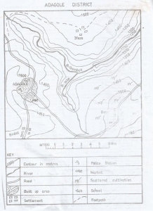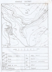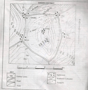
The western part of R. Gembeh flows through
A delta
A gorge
A levee
An undulating plain
Correct answer is B
No explanation has been provided for this answer.

North Western part of the map
North Eastern part of the map
South Western part of the map
South Eastern part of the map
Correct answer is D
No explanation has been provided for this answer.

The scale of the map in statement form is
1 centimetres on the map represents 1 kilometre on the ground
2 centimetres on the map represent 1 kilometre on the ground
3 centimetres on the map represent 1 kilometre on the ground
4 centimetres on the map represent 1 kilometre on the ground
Correct answer is A
No explanation has been provided for this answer.
Shebshi Mountains
Biu Plateau
Adamawa Plateau
Atlantic Mountains
Correct answer is D
No explanation has been provided for this answer.

The features shown North of Abu is
A spur
A col
A ridge
An embankment
Correct answer is C
No explanation has been provided for this answer.
JAMB Subjects
Aptitude Tests